

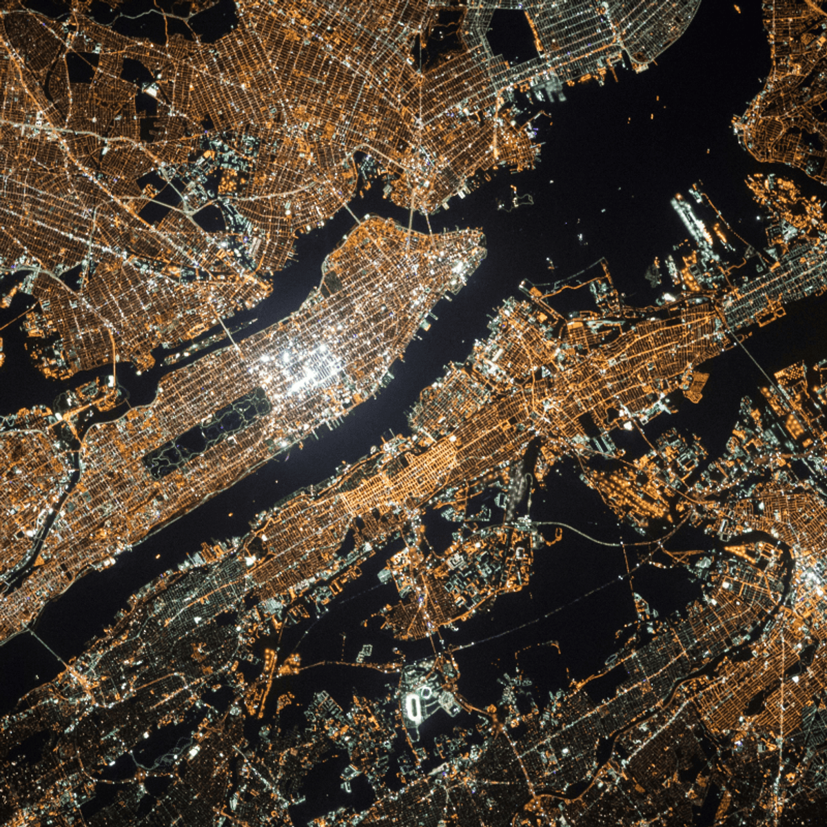
Develop skills in raster data processing and remote sensing analysis using industry tools. This course covers working with raster datasets using Rasterio and GDAL, along with foundational concepts in satellite imagery.
You will learn how to process multispectral and SAR data, calculate indices like NDVI, and perform change detection. By the end of the course, you will be able to analyze satellite imagery and extract meaningful insights from raster data.
