

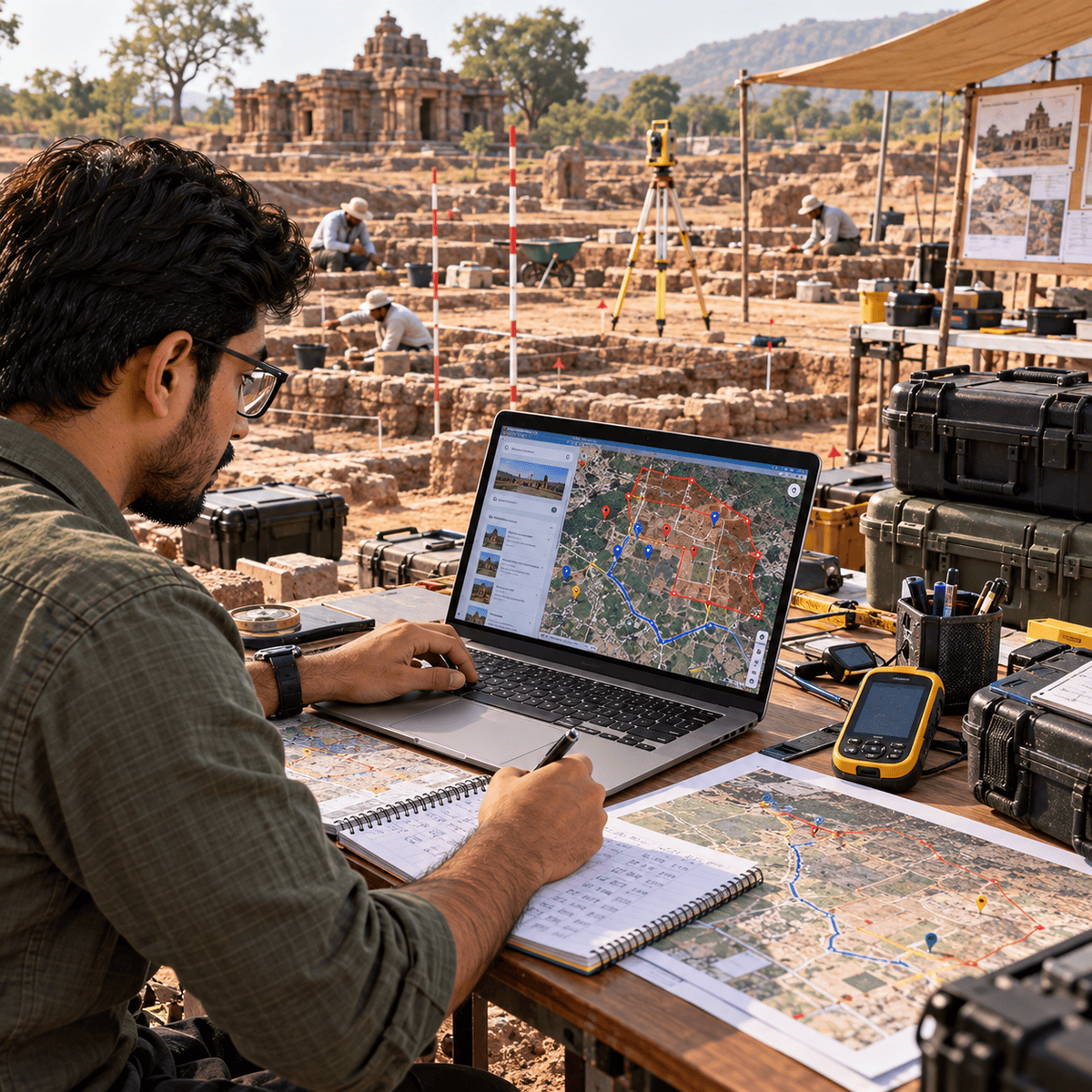
Build interactive, location-based web applications using the Google Maps JavaScript API. Learn to transform geographic data into practical map experiences through Places search, custom markers, spatial visualization, routing, and fleet tracking. Designed for JavaScript developers, web developers, and learners interested in mapping applications, this project-based course covers map initialization, controls, information windows, event handling, geocoding, autocomplete, and nearby place searches. You’ll create interactive polylines and polygons, calculate geographic distances, and work with drawing tools and Geometry functions. Explore GeoJSON, KML, GeoRSS, and Data layers to build customized geographic visualizations.
Learn to display earthquake data, create weighted heatmaps, configure Directions requests, and calculate route distances and durations. Explore fleet tracking workflows, location synchronization, live waypoint updates, and Google Maps Roads API snapping. By the end, you’ll be able to build and troubleshoot interactive mapping applications, manage geographic data, visualize spatial patterns, and implement location-based routing features. What makes this course distinctive is its progression from essential mapping concepts to practical geographic visualization and real-time fleet routing projects, helping you apply JavaScript mapping skills to real-world scenarios.
