

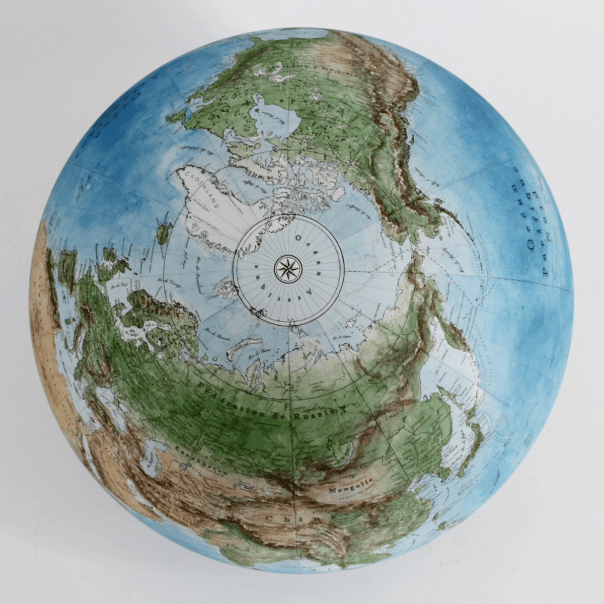
Build a strong foundation in geospatial data science by learning core GIS concepts and vector data analysis. This course introduces coordinate reference systems, spatial data types, and real-world applications of GIS. You will set up a Python geospatial environment and use GeoPandas to perform spatial operations such as joins, projections, and data summarization.
You will also learn best practices for managing geospatial projects, including metadata and data quality checks. By the end of this course, you will be able to work with vector data and perform essential geospatial analysis tasks.
