

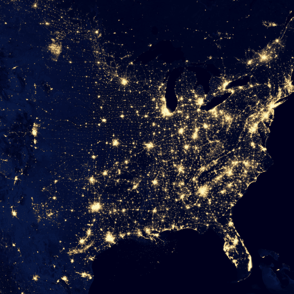
Start your journey into geospatial data science and build skills used to analyze, visualize, and manage spatial data. This beginner-friendly program guides you from core GIS concepts to modern geospatial workflows using industry tools and technologies. You’ll begin with spatial fundamentals, including coordinate systems, vector data, and Python-based geospatial analysis using GeoPandas.
As you progress, you’ll learn desktop GIS with QGIS, automate workflows with PyQGIS, and work with spatial databases using PostGIS. The program then introduces raster processing and remote sensing, where you’ll analyze satellite imagery using Rasterio and GDAL. You’ll also learn to design maps, build interactive web maps, and use cloud-based tools like Google Earth Engine.
In later courses, you’ll explore spatial analysis, 3D data using LiDAR, and machine learning techniques for geospatial data. Finally, you’ll work with cloud platforms, build ETL pipelines, process real-time data streams, and analyze climate datasets.
